Nexaro Precision
Independent drone services, certified training, and actionable aerial data
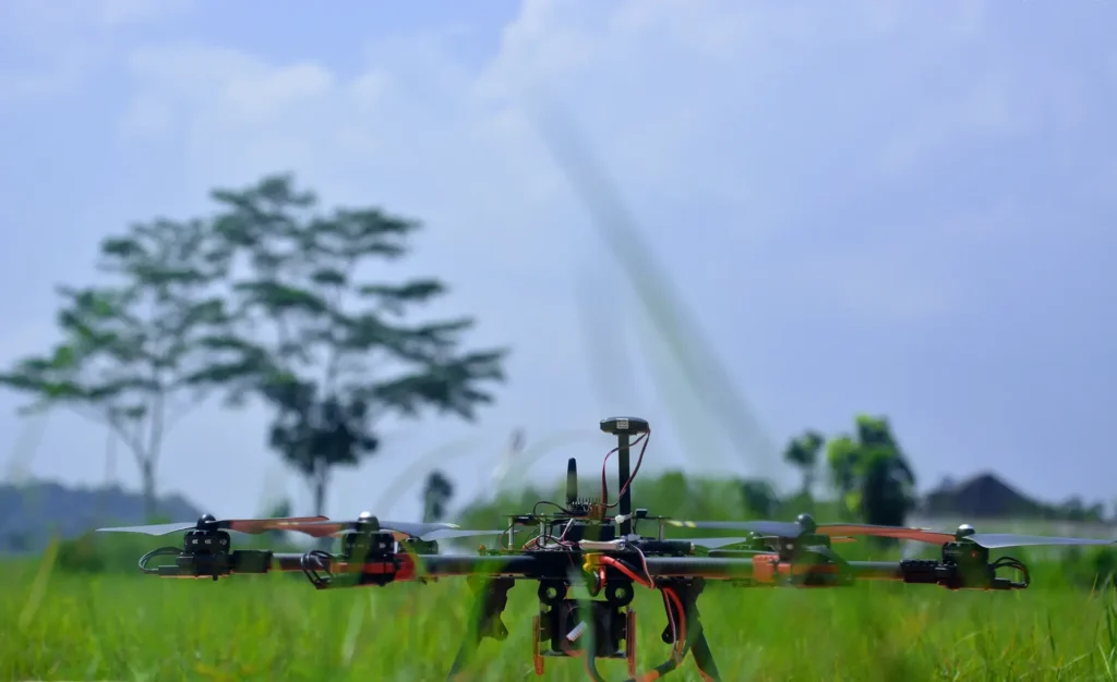
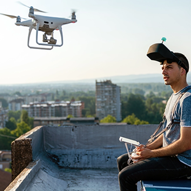
A leading drone technology company providing cutting edge aerial intelligence solutions to transform industries and disciplines such as agriculture, geospatial mapping, security operations, infrastructure inspection and training. Founded by professionals with proven experience in licensed drone operations, Nexaro Precision supports organisations that require accuracy, compliance, and dependable intelligence for decision-making.
A trusted foundation, a clear future
Built on Proven Operational Experience
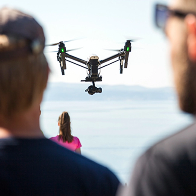
Nexaro Precision is an independent company built by a team with years of hands-on experience delivering regulated drone services and professional training in Kenya. Our leadership and instructors bring deep operational knowledge from prior work in licensed environments, giving Nexaro Precision a strong foundation in compliance, safety, and real-world deployment. This experience now informs a sharper focus on aerial intelligence, data quality, and enterprise-ready delivery.
What we do
Aerial Mapping & Surveying
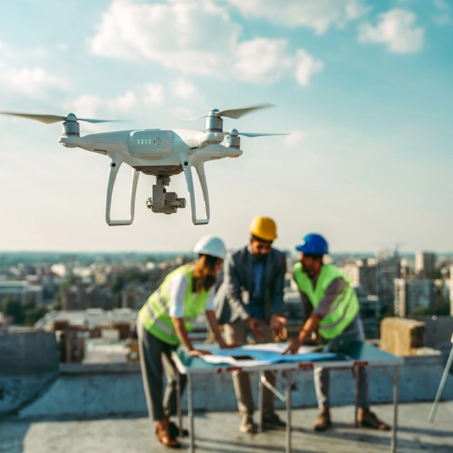
Orthomosaics, 3D models, terrain analysis and site documentation for construction, mining and land-use planning.
Precision Agriculture Analytics
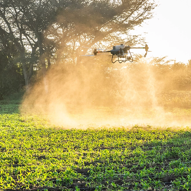
Crop-health mapping, stand counts, variability analysis and targeted intervention support for yield improvement.
Industrial Inspection & Monitoring
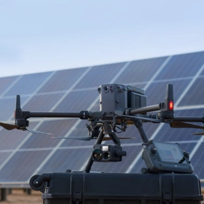
Thermal and visual inspections for solar plants, power lines, telecom towers and critical infrastructure.
Why Nexaro Precision
Experience, compliance, and clarity
- Independent aerial intelligence company
- Licensed by the Kenya Civil Aviation Authority (KCAA)
- Certified pilots and instructors with live project experience
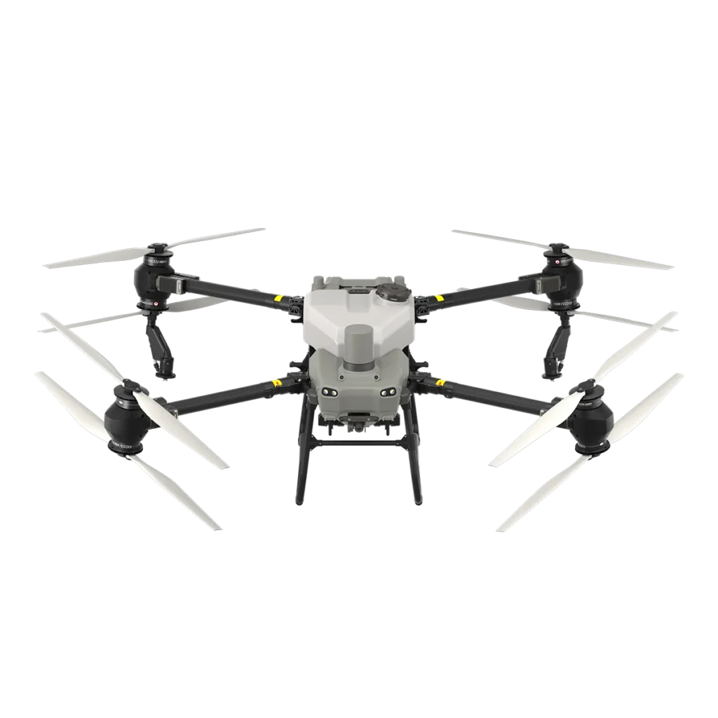
- Enterprise-grade drone platforms and workflows
- Clear communication from planning to delivery
- Get Started
Let’s discuss your requirements
Whether you need professional drone services, certified training, or institutional support, our team is ready to advise.