
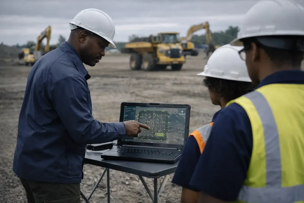
The Drone mapping and surveying programme builds practical capability for professionals and organisations using drones to collect, process, and interpret spatial data for planning, measurement, and decision support. This programme focuses on applied mapping and surveying workflows, data quality considerations, and operational discipline required to deploy drone-based geospatial methods effectively in real-world environments.
The Drone mapping and surveying programme is aligned with accepted operational practices for drone-based spatial data collection and analysis. Training content supports responsible deployment and complements applicable aviation, surveying, and data management guidelines without implying regulatory certification or professional registration.
For organisations or professionals planning to use drones for mapping and surveying applications, our team can advise on suitability, scope, and training pathways.