Aerial spraying, spreading, and crop inspection to support efficient, data-driven farm operations.
Drone-based inspection to assess asset condition and support maintenance planning.
Professional aerial photography, video, and creative media for documentation and brand communication.
Advanced sensing for non-contact inspection, terrain analysis, and condition assessment.
Accurate aerial mapping and spatial data to support planning, measurement, and analysis.
Aerial monitoring and situational awareness for risk assessment and compliance.
Foundational exposure to drone technology, aviation concepts, and applied STEM learning
Skills-based training for safe and effective agricultural drone deployment
Skills-based training for applied spatial data capture and analysis
Skills-based training for applied LiDAR data capture and inspection analysis
Skills-based training for crop and land analysis using multispectral data
Regulatory-aligned training for authorised drone instruction and assessment support
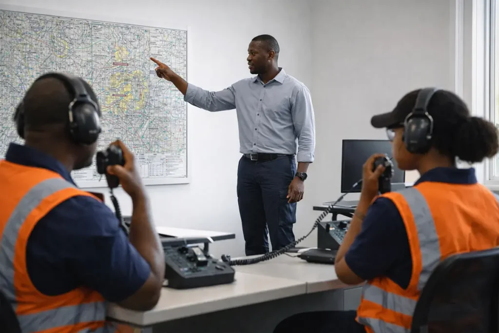
Regulatory-aligned training for aviation radio communication and airspace coordination
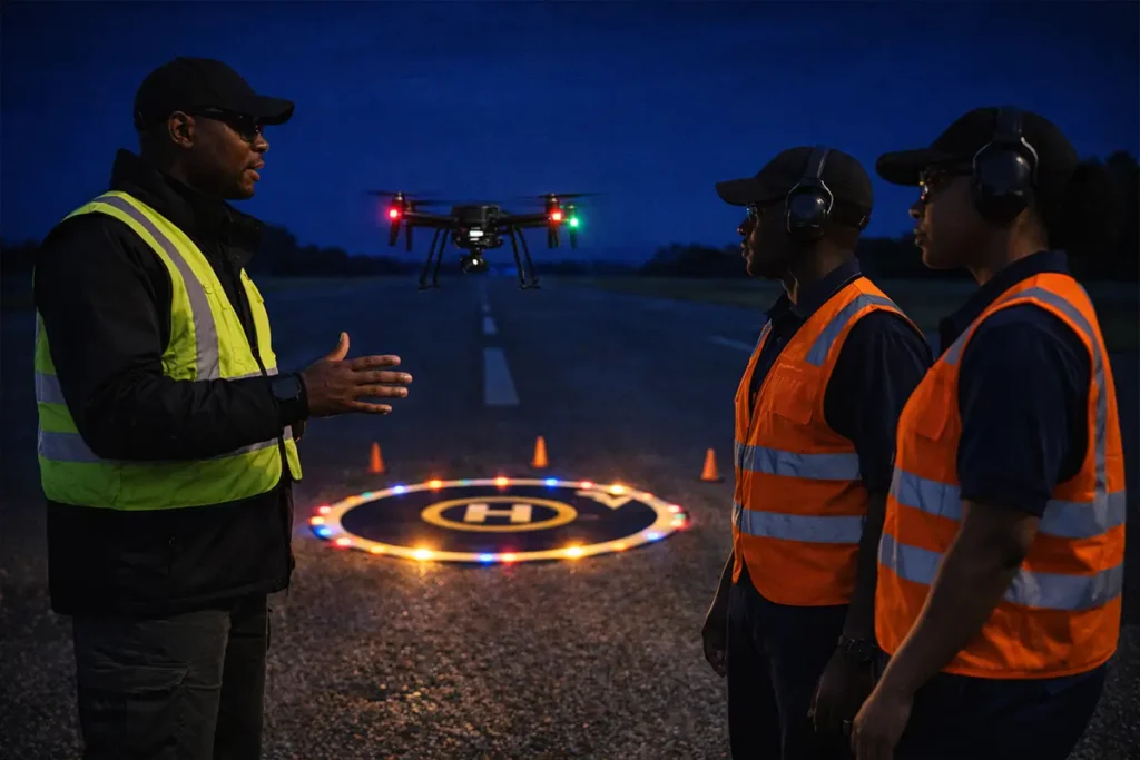
Regulatory-aligned training for safe and compliant night drone operations
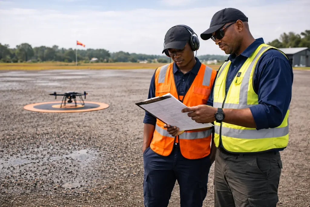
Regulatory-aligned training for professional multirotor drone operations
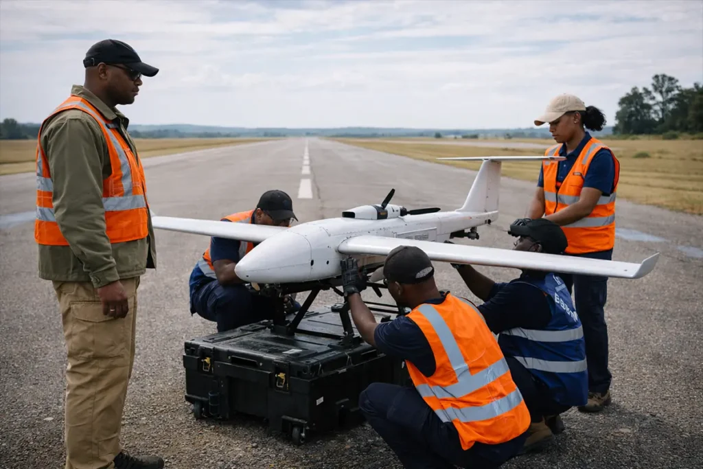
Regulatory-aligned training for professional fixed-wing drone operations